Picture your morning starting with a quiet coffee on University Avenue as Caltrain glides in, then ending with a sunset bike ride along the Baylands marsh. If you want city energy, strong transit, and big open spaces in one place, Palo Alto delivers a rare mix. In this guide, you’ll learn what daily life feels like, from housing and commute options to parks, schools, and weekend staples. Let’s dive in.
Palo Alto snapshot
Palo Alto is a mid-sized city with about 67,600 residents and high educational attainment, with about 82% of adults holding a bachelor’s degree or higher. The median household income is about $231,100. You can confirm these figures in the city’s profile on the U.S. Census QuickFacts page, which also shows a mean commute time of about 21–22 minutes for residents. See the latest Census QuickFacts for Palo Alto.
Housing costs are among the highest in the Bay Area. Citywide indicators placed typical home values in the low to mid $3M range in late 2025 and early 2026, based on market indexes and recent medians. For current numbers, review live data on the Redfin Palo Alto housing market page. On the rental side, the Census American Community Survey shows a median gross rent near $3,484. Listing trackers often show one-bedroom medians in the low to mid $3,000s, although month-to-month swings are common.
Housing and neighborhoods
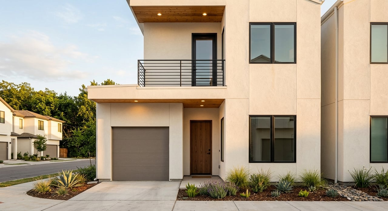
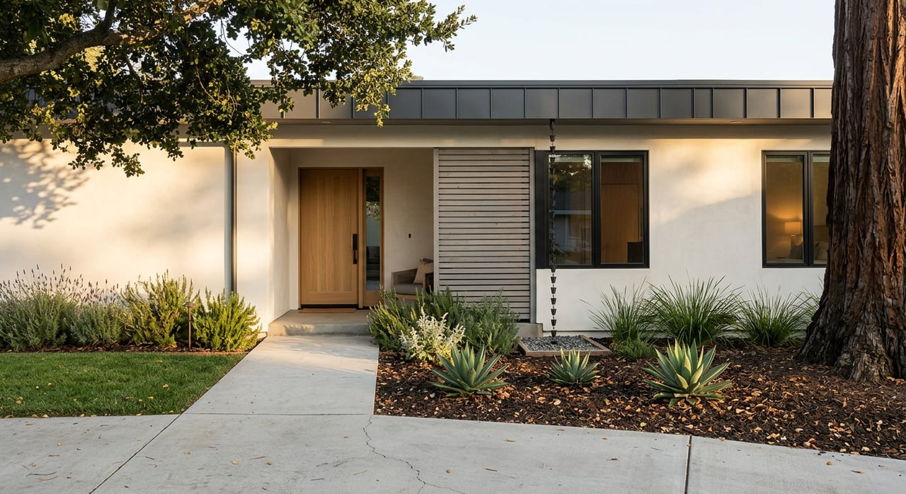
Palo Alto reads as a suburban city with tree-lined blocks and a large share of single-family homes. You’ll also find condos, townhomes, and small apartment buildings near the two main commercial cores and Caltrain stations. Owner occupancy runs near 55%, so renters are a meaningful part of the community, and you’ll meet neighbors with a wide mix of housing needs and timelines.
Prices vary by neighborhood and even by block. Historic areas like Old Palo Alto, Crescent Park, and Professorville tend to sit above city averages, while parts of Midtown, South Palo Alto, and the Charleston corridor offer more varied housing stock and price points. For a sense of how medians can shift across the map, local reporting highlights neighborhood-by-neighborhood differences and recent trends in listings and sales. You can explore a recent overview on Palo Alto Online’s neighborhood market recap.
What it feels like on the ground: quiet residential streets, larger yards in some pockets, and older bungalows next to expanded or custom homes. Near the downtowns, you can walk to cafés and errands, then bike home in minutes. Inventory has historically been tight, which can create competitive offer scenarios in popular micro-areas. If you plan to buy, line up financing, review recent comparable sales, and track live data on the Redfin market page so you can act quickly when the right home appears.
Getting around
Two Caltrain stations anchor Palo Alto: the main Palo Alto Station by University Avenue and California Avenue Station in the smaller California Ave district. Caltrain connects you north to San Francisco and south to San Jose, with local and express patterns and frequent weekday and weekend service. Door-to-door to downtown San Francisco can range roughly 35–60 minutes by rail depending on the train you catch. Check current timetables and trip planning tools on Caltrain’s website.
The Palo Alto Transit Center sits next to the main Caltrain platform and is a true regional hub. You can connect to VTA and SamTrans buses, the Dumbarton Express, and Stanford’s Marguerite shuttles for first and last mile trips. This makes cross-county commutes and campus access straightforward without driving. Get an overview of the hub and connections on the City of Palo Alto Transit Center page.
Driving is common for suburban errands and cross-Peninsula trips. Highway 101 and Interstate 280 are your main north-south corridors. Allow a wide range for traffic: a San Jose or San Francisco drive can run 25 to 60+ minutes depending on time of day and your destination. Many short trips inside Palo Alto are easy by bike or on foot, especially near the two downtowns and Stanford.
Parks and outdoor life
One of Palo Alto’s best surprises is how fast you can shift from city blocks to open space. For flat, easy walks and birdwatching, the Baylands Nature Preserve covers about 1,940 acres of tidal marsh, ponds, and shoreline trails. It’s ideal for sunrise runs, long family walks, and mellow bike rides with big-sky views. Learn more, including trail access and hours, on the Baylands Nature Preserve page.
For hills and ridge views, head a short drive west to the Foothills Nature Preserve. With roughly 1,400 acres of trails and a small lake, it offers shaded hikes and picnic spots away from traffic. There are posted access rules and vehicle fees, with some resident access programs. Check current visitor info on the Foothills Nature Preserve page.
Closer to home, you’ll find neighborhood parks with playgrounds and fields, along with city-run programs at community centers. A popular family stop is the Junior Museum & Zoo, and many residents use Rinconada Pool in warm months. A typical weekend could look like a Saturday Foothills hike followed by lunch in Midtown, or a Baylands sunset ride before dinner downtown.
Culture, dining, and errands
Two walkable commercial districts anchor daily life. University Avenue downtown is the livelier, visitor-friendly corridor with cafés, restaurants, and boutiques near the main Caltrain Station. California Avenue is smaller and very local in feel. On Sundays, you can stroll a year-round farmers’ market on Cal Ave from 9 a.m. to 1 p.m. Check details on the Urban Village Farmers’ Market page.
For bigger errands, Town & Country Village and the nearby Stanford Shopping Center offer broader retail and dining. Stanford University adds lectures, performances, and a steady flow of daytime energy that spills into local cafés. Many residents blend errands with short walks or bike rides, especially near the downtowns, then switch to the car for cross-town trips.
Schools and family resources
Public schools are operated by the Palo Alto Unified School District (PAUSD), which includes multiple elementary and middle schools and two comprehensive high schools. Families should always verify school boundaries, enrollment rules, and program options directly with the district. You can find official listings and enrollment information on the PAUSD website.
Beyond schools, the city offers a wide range of family programming. Community centers host classes for all ages, and you’ll find libraries, playgrounds, and the Junior Museum & Zoo woven into daily routines. Parks like Mitchell and Rinconada support weekend sports and picnics.
Who thrives here
Palo Alto can be a strong fit if you:
- Want a walkable daily routine anchored by University Avenue or California Avenue, with easy rail access to San Francisco and San Jose.
- Value fast access to nature, from flat Baylands trails to hill hikes at Foothills, within a short drive or bike ride.
- Plan to enroll in public schools and want a clear path to verify boundaries and programs directly with the district.
- Can navigate a high-cost, often competitive housing market and are ready to review live data, prep financing, and move decisively.
What to check next
- Take Caltrain from Palo Alto Station for a trial commute and time your door-to-door trip.
- Stroll the Sunday California Avenue farmers’ market, then tour nearby streets to sample the neighborhood vibe.
- Walk or bike an out-and-back along the Baylands trails, then compare it with a weekend hike in Foothills.
- Explore the PAUSD site to confirm school boundaries and enrollment steps for your address.
- Review recent sales and trends on a live market feed so you understand current price ranges and days on market.
If you’re weighing a move, a quick planning session helps you match budget, timing, and micro-neighborhoods with less stress. For a clear path from first tour to closing, connect with Clara Lee for local guidance and a step-by-step plan.
FAQs
Is Palo Alto walkable for daily errands?
- Yes, especially around University Avenue and California Avenue, where you can walk to cafés, restaurants, and shops, then connect easily to Caltrain for regional trips.
How much does a home cost in Palo Alto in 2026?
- Citywide indicators placed typical values in the low to mid $3M range in late 2025 and early 2026 based on market indexes and recent medians. Always check a live market feed before you buy.
What is commuting to San Francisco like from Palo Alto?
- By Caltrain, plan roughly 35–60 minutes to downtown San Francisco depending on the train. By car, allow 25–60+ minutes based on traffic and time of day.
Which parks are most popular for outdoor time?
- The Baylands Nature Preserve is great for flat walks, bikes, and birding. Foothills Nature Preserve offers hill trails and views. Neighborhood parks like Rinconada and Mitchell support everyday play and community programs.
What are typical rents in Palo Alto?
- The Census ACS shows a median gross rent near $3,484. Listing trackers often show one-bedroom medians in the low to mid $3,000s, with month-to-month shifts by neighborhood and season.